This is the Cross Fell & Great Dun Fell from Kirkland walk from the Walking Britain web site.
- Starting at the end of the road near Kirkland Hall (NY650325)
- North-north-east on track passing to the west of High Cap
- North-east to Pennine Way
- South-east on Pennine Way to Cross Fell
- South-east on Pennine Way to Great Dun Fell
- Back north-west on Pennine Way to near Tees Head
- South-west on track to Wildboar Scar and Wythwaite
- North to Kirkland
 |
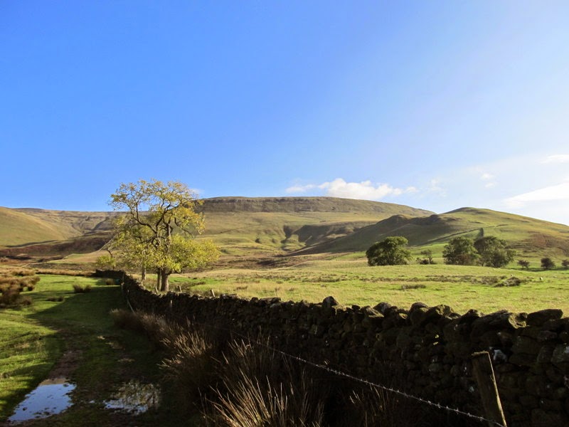
| Start of the walk from the end of the road near Kirkland Hall |
 |
| High Cap (on the left) |
 |
| Kirkland Fell (Cross Fell is out of sight behind) |
 |
| High Cap |
 |
| Cross Fell from above High Cap |
 |
| Cross Fell |
 |
| Cairn where the track joins the Pennine Way to Cross Fell |
 |
| View to the north-eat from the northern edge of Cross Fell |
 |
| Summit shelter and trig point on Cross Fell |
 |
| Great Dun Fell |
 |
| Great Dun Fell |
 |
| The road to the Radar Station on Great Dun Fell |
 |
| NATS Comms/Radar Station on Great Dun Fell |
 |
| Cross Fell from Little Dun Fell |
 |
| The turn off the Pennine Way to Wildboar Scar |
 |
| Path to Wildboar Scar |
 |
| Dufton and Knock Pikes |
 |
| Cross Fell |
No comments:
Post a Comment