This is the Titterstone Clee Hill & Cleeton St. Mary from Cleehill walk from the Walking Britain web site.
- Parking at viewpoint on the eastern edge of Cleehill village (SO595753)
- Dhustone
- Titterstone Village
- Titterstone Clee Hill (the third-highest hill in the county of Shropshire at 533 metres)
- Callowgate
- Cleeton St Mary
- Dhustone
- Cleehill village
 |
| The Kremlin Inn (Shropshire's highest public house at 395 metres) at Cleehill |
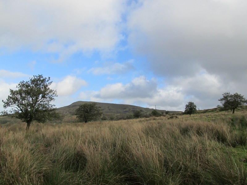 |
| Titterstone Clee Hill from near Dhustone |
 |
| The Bitterley Incline (this is called Titterstone Incline on OS maps) |
 |
| On the Bitterley Incline |
 |
| Looking back down the Bitterley Incline |
 |
| Derelict quarry buildings on Titterstone Clee Hill |
 |
| Titterstone Clee Hill |
 |
| The big Golf Ball is part of the National Air Traffic Services (NATS) radar network |
 |
| The little Golf Ball is part of the Met Office weather radar network |
 |
| Trig point on Titterstone Clee Hill |
 |
| Brown Clee Hill from the Giant’s Chair |
 |
| The Golf Balls |
 |
| Titterstone Clee Hill from Callowgate |
 |
| Church of St Mary at Cleeton St Mary |
 |
| Titterstone Clee Hill |
 |
| Titterstone Clee Hill |
No comments:
Post a Comment