- Car park (SK626677)
- Major Oak
- Centre Tree
- A6075/B6035 junction near Markst Warsop
- Thynghowe Trail (shown as the Robin Hood Way on OS maps) north to Hazel Gap
- Budby South Forest
- Car park
 |
| Major Oak |
 |
| Major Oak |
 | |
| Centre Tree |
 | |
| Track heading south from Centre Tree |
 |
| Centre Tree |
 |
| View back to Centre Tree |
 |
| St Edwin's Cross on the site of St Edwin's Chapel |
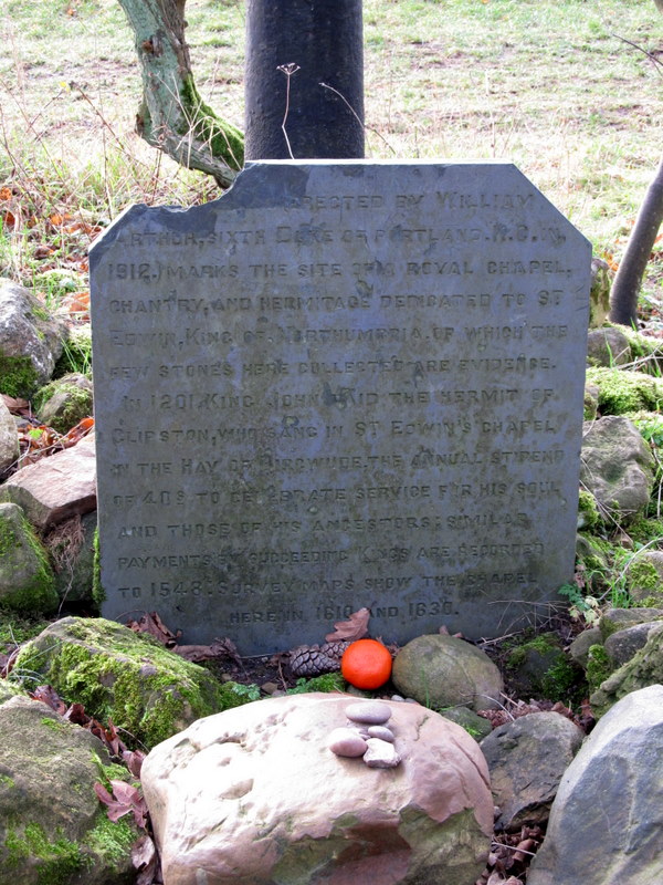 |
| Notice below St Edwin's Cross on the site of St Edwin's Chapel |
 |
| Sign at Market Warsop |
 |
| Near Market Warsop at point A on the Thynghowe Trail |
 |
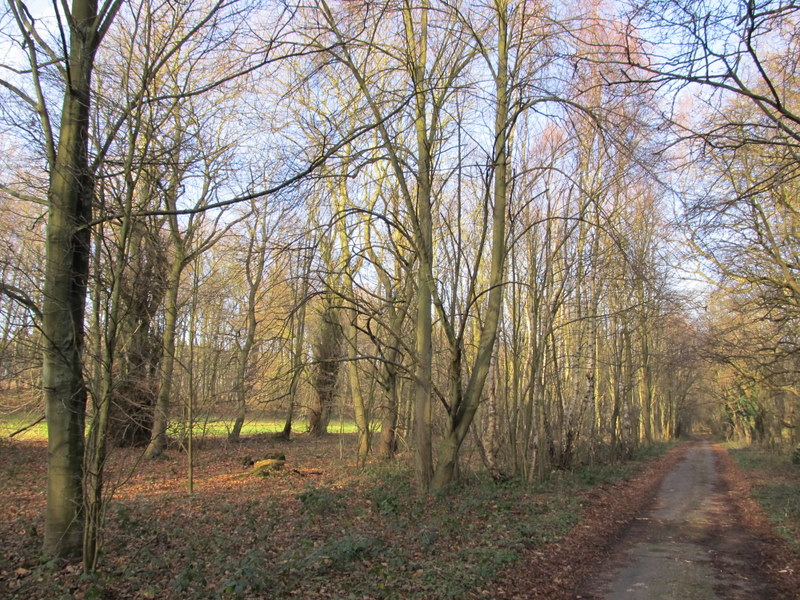
| Green Drive at point D on the Thynghowe Trail |
 |
| Boundary Stone at point F on the Thynghowe Trail |
 |
| Boundary Stone on the Thynghowe Trail |
 |
| Oak Tree at point H on the Thynghowe Trail |
 |
| Hangar Hill from point I on the Thynghowe Trail |
 |
| Site of ammunition store from WWII at point J on the Thynghowe Trail |
 |
| Hangar Hill Drive (right) and grass strip alongside (left) after point K on the Thynghowe Trail |
 |
| Culvet in the water meadows scheme at point O on the Thynghowe Trail |
 |
| Earthwork which was WWII machine gun post at point P on the Thynghowe Trail |
 |
| Hazel Gap |
 |
| Track leading back from Hazel Gap towards Edwinstowe |
 |
| River Meden to the west of Budby |
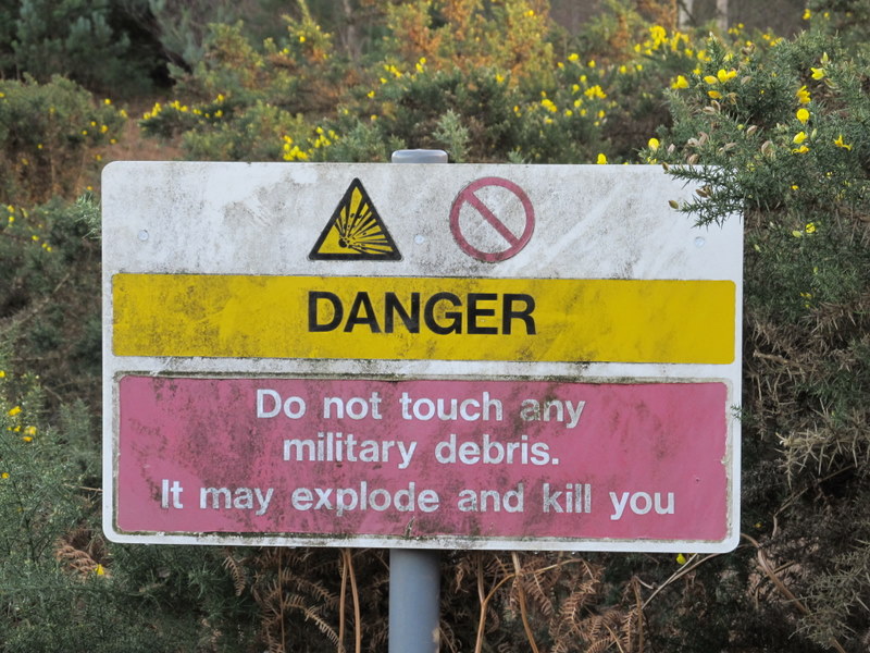 |
| Military warning sign at Budby South Forest |
 |
| Budby South Forest |
 |
| Silver Birch Trees in Sherwood Forest |
No comments:
Post a Comment